

Subtropical Storm Josephine flooded the Coastal South region's bayside streets under sunny skies last week, and the fall's biggest tide arrives Wednesday. The drought behind the watch is in the groundwater below — and the ocean is moving in.
Subtropical Storm Josephine pushed water into bayside streets in Ocean County last week under sunny skies with almost no rain, driven by waves topping 10 feet while the storm spun offshore. And more water is on the way this morning: the fall's biggest predicted tide, a forecast crest of 5.6 feet at 9:21 a.m. at the Atlantic City gauge, station 8534720, according to NOAA's tide predictions. That same coastline is also the only part of New Jersey still in a drought watch.
This month's full-moon cycle pulls the month's highest tides, and this morning's is the fall's highest.
The back bays behind the barrier islands crest later than the gauge as the water moves through the inlets, so flooding runs behind the posted times. The National Weather Service warned Oct. 19 of "multiple rounds of coastal flooding" that week, with "low-end moderate tidal flooding" possible, "particularly in the back bays" during the high tide of Oct. 21, as Subtropical Storm Josephine spun offshore. The office's advisory for Ocean County's back bays — "up to one half foot of inundation above ground level in low-lying areas near shorelines and tidal waterways" — stayed up through the round and expired Oct. 24, when the office cancelled it as water levels dropped. The office said "spotty minor tidal flooding" could linger on the back bays through the daytime high tide on Sunday, Oct. 25.
The National Hurricane Center named Subtropical Storm Josephine, the season's 10th named storm, in its 5 p.m. advisory on Oct. 21. The name held for roughly a day before the agency declared the storm post-tropical in its 5 p.m. update on Oct. 22. The storm was the second round of tidal flooding to hit the Jersey shore in a month, after a late-September nor'easter brought significant tidal flooding and severe beach erosion, according to the state climatologist's September summary. The Cape May County Office of Emergency Management ran Josephine briefings Oct. 22, as coastal flood advisories from the National Weather Service spanned the New Jersey and Delaware coasts.
State's Coastal South region the only one still under drought watch
The DEP designates the region the Coastal South, a label that covers all of Atlantic, Cape May and Cumberland counties plus parts of Burlington, Camden, Gloucester, Ocean and Salem. The region has been under some level of drought designation continuously since November 2024.
The DEP's three drought designations run watch, warning, emergency, from least to most severe. It first declared a warning on Nov. 13, 2024, and lifted it in June 2025, leaving the Coastal South under a watch. The watch went statewide again on Oct. 1, 2025. The Murphy administration declared another statewide warning on Dec. 5, 2025, and the Sherrill administration lifted it Oct. 1, leaving the Coastal South in watch once more.
Precipitation ran at a deficit in 25 of the last 30 months, the DEP said in its Oct. 20 weekly update, even as the last 90 days came in 5 to 10 inches above normal in most counties. The federal U.S. Drought Monitor's Oct. 20 map still has the coast in the "abnormally dry" category: 15.77 percent of New Jersey, with no part of the state rated in deeper drought. Its national summary notes that low groundwater levels continued to limit recovery in some areas.
The DEP blames the region's geology: its Oct. 20 update cites "slower recovery and porous geology requiring large volumes for aquifer recharge." Pumping fresh water faster than rain replaces it pulls salt water toward the wells, according to the U.S. Geological Survey. Between 1960 and 1990, the agency found, more than 100 domestic wells in Cape May County were abandoned to saltwater intrusion, along with at least 10 public-supply wells and three industrial wells. Those wells once supplied Cape May County's drinking water.
The city is primarily served by a desalination plant, built for $5 million after 1995, when the U.S. Geological Survey and the DEP told then-mayor Ed Mahaney the water had three years left, according to WHYY. It was the Northeast's first desalination plant, the New York Times reported at the time. The plant, opened in 1998, produces 2 million gallons of drinking water a day, according to the city water department.
The rest of the supply comes from Well No. 5 in Lower Township, the city's last well in regular use. The city water department says water quality in the Cohansey Aquifer "has deteriorated over time," and the city no longer uses its two other Cohansey wells, keeping one in reserve for emergencies. On Oct. 19, the day the weather service posted the round's first coastal flood advisory, the city broke ground on a $37.8 million replacement for the 1998 plant, according to the Cape May County Herald.
The watch reaches city wells and farm fields
State Climatologist John Krasting told South Jersey Climate News: "A drought has many different impacts. It can affect the water supply; it can affect agriculture; it can affect tourism. There are many different ways in which a reduction in water or dry period can impact people in the way they live."
Kelly Keppel, operations manager at Rea's Farm in West Cape May, planted seven acres in field corn this year. "None of it germinated. None of it came up," he said. Fifty acres of hay germinated poorly across the farm and rented ground, and two other cornfields failed; he could not afford the seed to replant them, according to South Jersey Climate News. He replanted the seven-acre field for this year's corn maze, which never reached full height. Irrigation ran on diesel all season: "we had to pay to pump the water onto the vegetables. Diesel prices are through the roof," Keppel said. The farm will not match last year's income, he said, a loss he put at about $20,000.
Tracie Bright of Duckie's Farm Market told the Cape May County Herald in June: "It's not normal. I've never seen it this dry this early in the year." Kate Cooper of Cooper Brothers Market Garden in Erma connected the dry skies to the water table: "we are watering more, and it strains the underground water systems because we work out of wells. We need the well to be replenished as well."
The DEP's next weekly water-supply update is due by Thursday, Oct. 29. The department is asking residents to cut back voluntarily, especially in the Coastal South.
Related Articles
Eight N.J. Counties Under Emergency Order as Nor'easter Peaks Sunday
Ocean City's new beach, a nor'easter and an old question: Who pays for the repair?
Sources
• Collin Hall, “'I've never seen it this dry this early': Farmers suffer through months-long drought,” Cape May County Herald (June 22, 2026)
• Vince Conti and Collin Hall, “Cape May Water Treatment Project Takes Big Step Forward,” Cape May County Herald (October 19, 2026)
• “Subtropical Storm Josephine Briefing #1,” Cape May County Office of Emergency Management (October 22, 2026)
• “Desalination Facility,” City of Cape May Water & Sewer Department (accessed October 27, 2026)
• “Subtropical Storm Josephine Advisory #1” and “Advisory #5,” National Hurricane Center (October 21, 2026; October 22, 2026)
• CO-OPS tide predictions, Atlantic City station 8534720, National Oceanic and Atmospheric Administration (accessed October 27, 2026)
• Coastal Flood Advisory products, National Weather Service Philadelphia/Mount Holly (October 24, 2026); official account post, NWS Mount Holly (October 19, 2026)
• “Weekly Drinking Water Supply Update,” New Jersey Department of Environmental Protection (October 20, 2026); drought news releases (November 13, 2024; December 5, 2025; October 1, 2026)
• “September 2026 climate recap,” Rutgers University New Jersey State Climatologist (October 6, 2026)
• “Drought warning no longer in effect, but South Jersey farmers are still dealing with impacts,” South Jersey Climate News (October 19, 2026), via NJ Spotlight News
• “In Brief; Desalination Plant Goes to Work in Cape May,” The New York Times (September 6, 1998)
• Weekly U.S. Drought Monitor map valid October 20, 2026, U.S. Drought Monitor (released October 22, 2026)
• Water-Resources Investigations Report 2001-4246, U.S. Geological Survey (2002); “Saltwater Intrusion,” U.S. Geological Survey (accessed October 27, 2026)
• “Climate change means some coastal groundwater may soon be too salty to drink. What can cities do?,” WHYY, The Pulse (July 15, 2022)
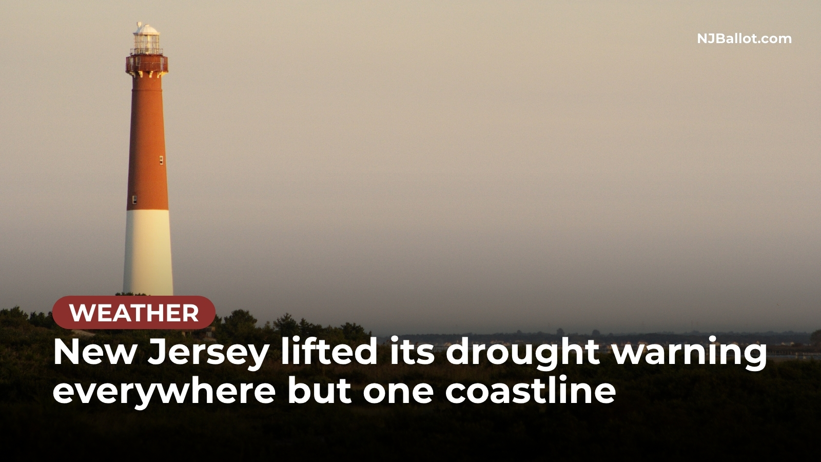
Photo: James Welsh via Wikimedia Commons, CC BY-SA 3.0; cropped and darkened.